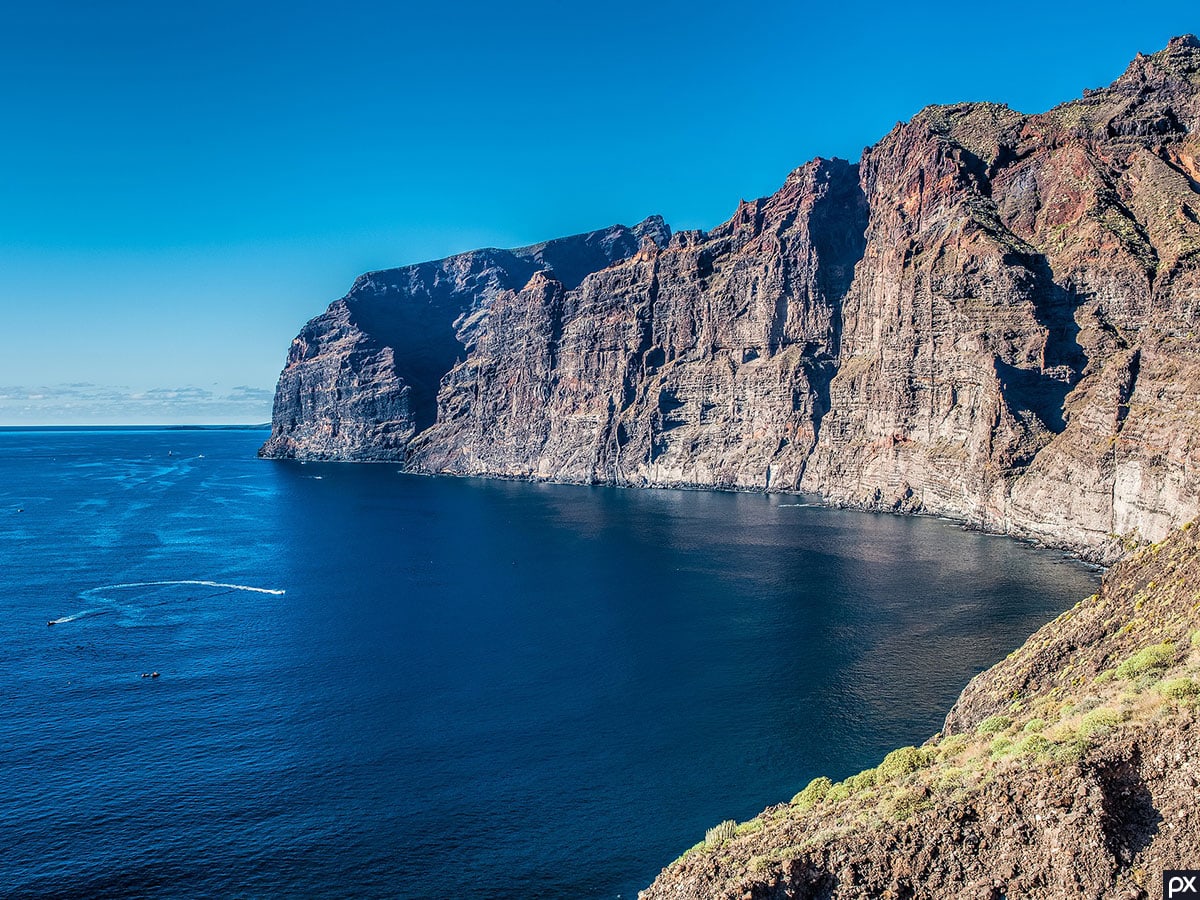
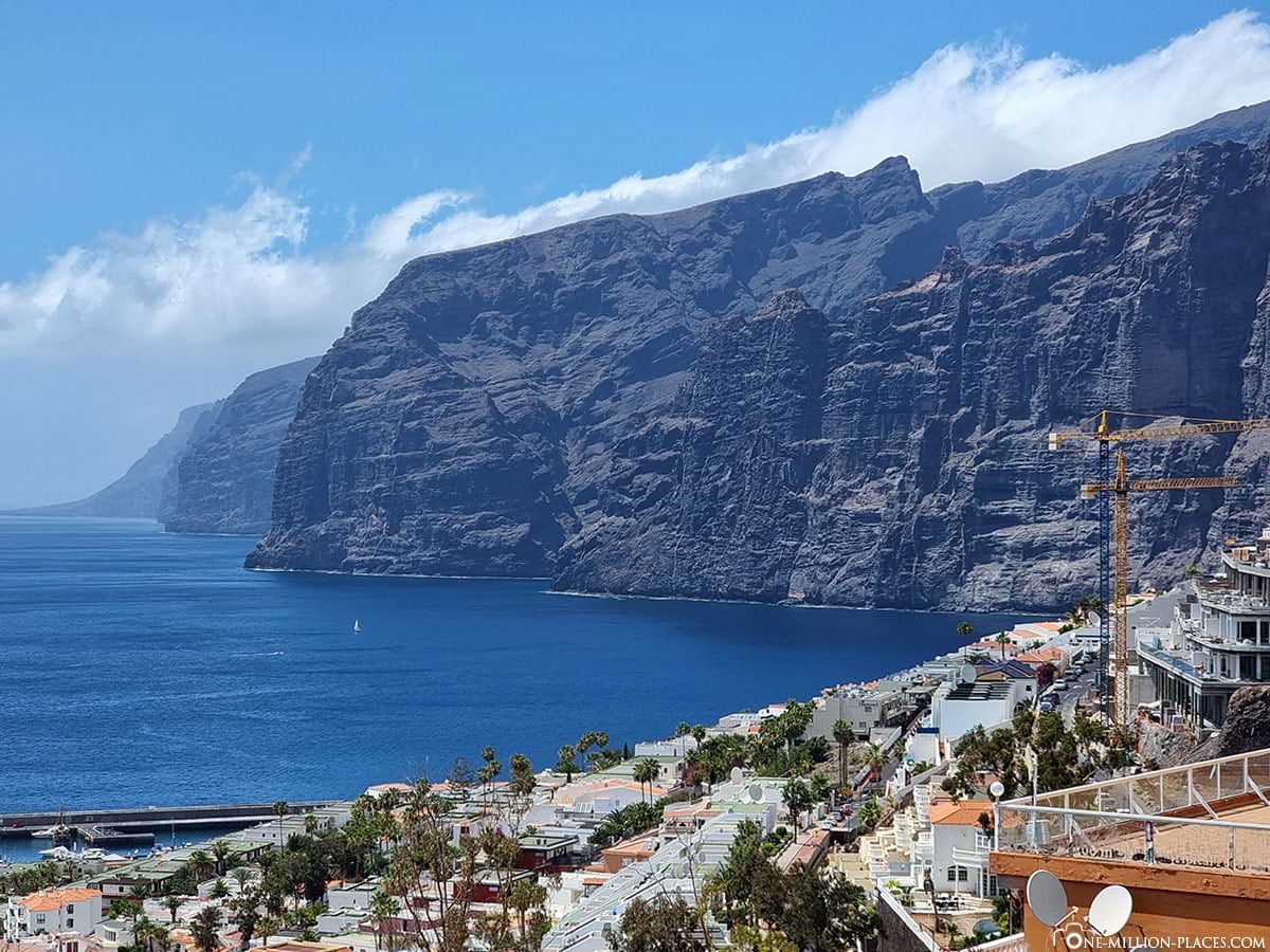
Two of the most famous sights on the west coast of Tenerife are the steep cliffs Los Gigantes and the small mountain village of Masca. The gigantic cliffs of Los Gigantes extend over a length of about 9.6 kilometers along the Atlantic coast and are with their 450 meters height one of the highest cliffs in Europe. The mountain village of Masca with its picturesque houses on the slope is also a popular destination in Tenerife.

Table of contents
The cliffs of Los Gigantes
Things to know about the steep cliffs of Los Gigantes
Such steep cliffs, as the one at Los Gigantes here in Tenerife, we have already seen with the Cabo Girão on Madeira and with the Preikestolen in Norway. Already these two have totally impressed us.
The cliffs “Acantilados de los Gigantes” are located in the district of Los Gigantes of the municipality of Santiago del Teide, which is located in the west of Tenerife. From the place you have a spectacular view of the rocky cliffs of black volcanic rock, which drop at this point up to 450 meters vertically into the sea. Another way to visit the steep cliffs is from the sea. Numerous local organizers offer boat trips on sailing ships, motor boats or catamarans to Los Gigantes. These excursions are often combined with dolphin or whale-watching tours, which usually start in the port of Los Cristianos. Some offers for such boat trips can be found e.B. at GetYourGuide.
The viewpoint “Mirador Archipenque”
If you drive down from the country towards the village of Puerto Santiago, you will automatically pass the viewpoint “Mirador Archipenque” on the TF-454 road. There are usually already a lot of cars here, i.e. you can’t miss the point. From a small platform you can let your view wander over the ocean and has a fantastic view of the cliffs, the westernmost point of the island and the neighboring islands of La Palma and La Gomera.
The viewpoint “Mirador Puerto de los Gigantes”
With the help of Google Maps we have found yet another beautiful viewpoint: In the district of Los Gigantes we are on the street “Calle el Pino” drove to the end, parked our car and were able to take a wonderful, unobstructed view of the giants directly from there – and without any other tourists.
The viewpoint “Mirador Tancón”
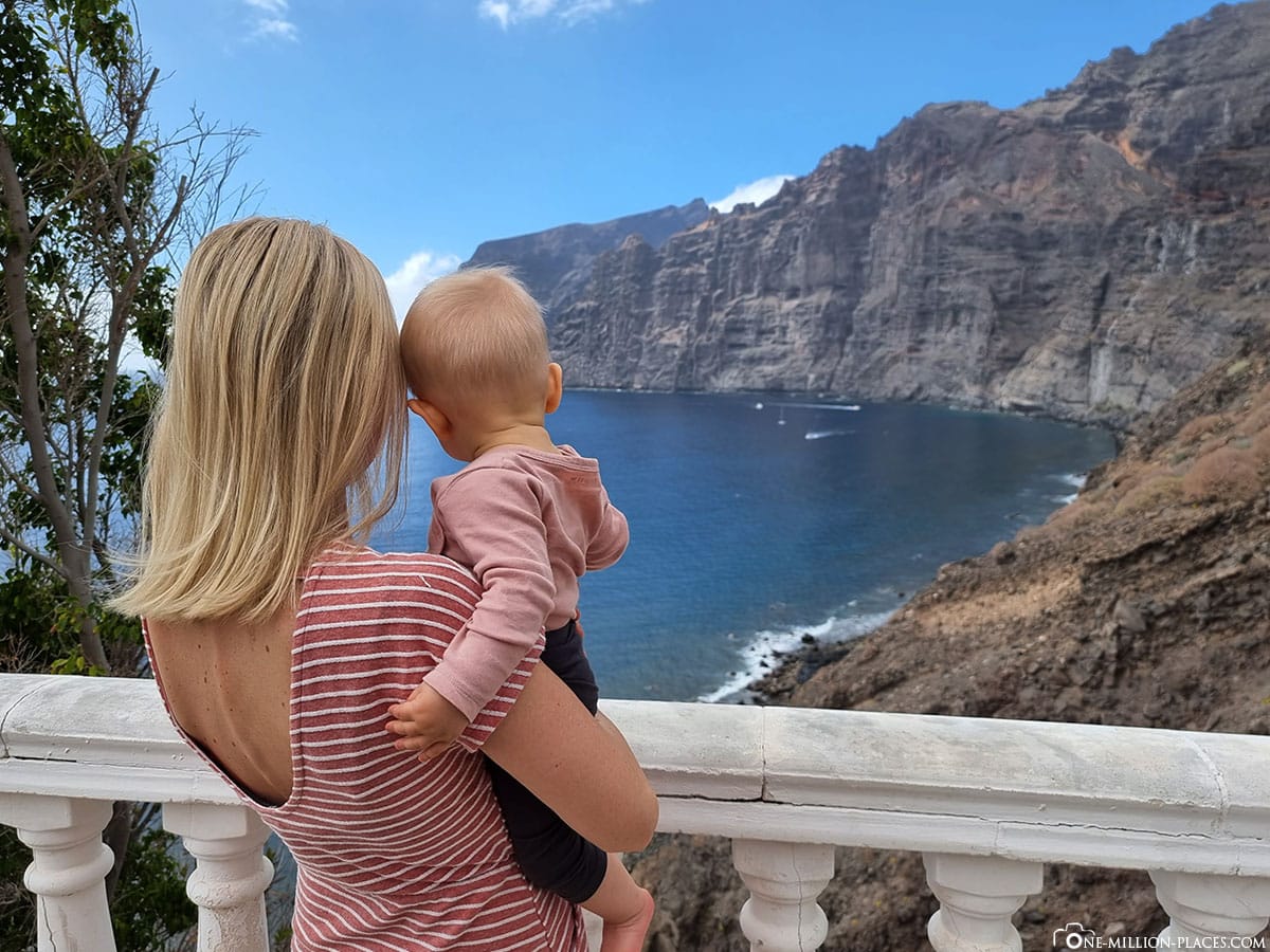
The most beautiful vantage point on the cliffs of Los Gigantes for us is from the brand new Board Walk, which is hidden directly behind the Hotel Barceló Santiago in Los Gigantes (location in Google Maps). The trail is beautifully landscaped, wheelchair and stroller accessible, and offers great views of the ocean and rock faces. We really liked that!
The Playa de los Guíos
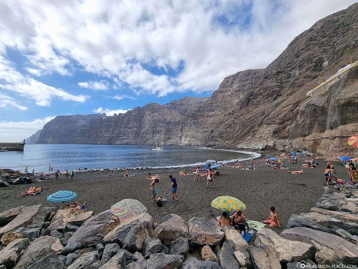
At the end of our visit to Los Gigantes, we drove to the port, parked our car there and after a few minutes walk reached Playa de los Guíos, a black sandy beach. It extends over a length of 150 meters and was busy, so we did not stay here for long.
The natural pools of Charco El Diablo & the Cueva la Vaca
A few minutes drive south of Los Gigantes are some natural pools in the village of La Arena. We first parked our rental car at a parking lot on Calle Punta Negra (location in Google Maps) and walked from here a few steps down to the water. At the end of the stairs you already have a great view of the rugged rock formations made of volcanic rock. Except for a family who just went swimming in one of the natural pools, we were completely alone.
The small natural pool “Cueva la Vaca” is a very nice photo opportunity. This can be reached when you come from the stairs about 200 meters to the right. From this point you also have a beautiful view of the impressive cliffs of Los Gigantes.
The mountain village of Masca
After our Los Gigantes photo tour, we drove to the mountain village of Masca, which is about a 30-minute drive from Puerto de Santiago. On the route you pass a lot of switchbacks, which open up beautiful views of the landscape.
“The hidden mountain village” Masca is an absolute visitor magnet and is located in a volcanic crater at 650 meters altitude in the Teno Mountains, which runs through the northwest of the island. Just about 90 inhabitants live here in typical old Canar houses, embedded in a fascinating gorge landscape and far away from any city. To visit the village, you can park your car at a large free parking lot above the village on the TF-436 road. From there it goes on only on foot. The place is very manageable and consists of some scattered houses, a central square with a church, a tourist information as well as various restaurants. For many visitors, Masca is the most beautiful village in Tenerife. Some also use the village as a starting point for their hike through the Masca Gorge, which leads to the sea and is a very popular hiking route among hikers.
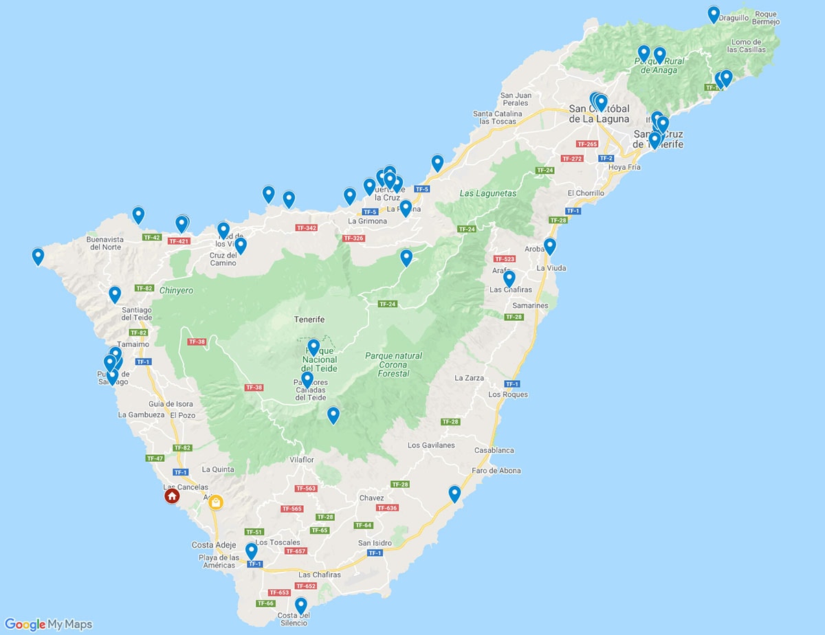
A map with all sights & photo spots on Tenerife
On the following map at Google MyMaps we have marked all important sights, attractions and photo spots on Tenerife.Our travel reports from Tenerife
 » Santa Cruz de Tenerife – 8 Things to do & Top Photo Spots
» The east coast of Tenerife – Attractions & Photo Spots
» The old town of La Laguna & the Rural de Anaga Park
» The Loro Park (Zoo) in Puerto de La Cruz
» The Los Gigantes Cliffs & Mountain village of Masca
» Puerto de la Cruz – Sights & the best Photo Spots
» North coast of Tenerife – Sights, Photo Spots & Things to do
» The Volcano Teide & Parque Nacional del Teide

